www.dadswell.co.uk Mostly cycling records, mostly on three wheels
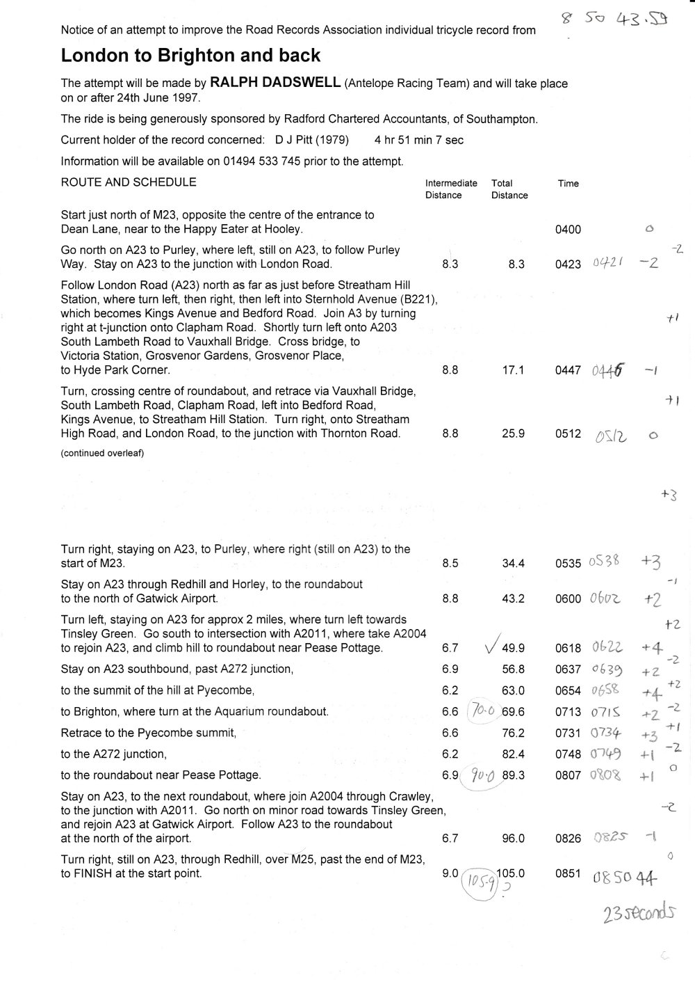
Here's an annotated schedule, showing that I was mostly behind the plan. Back to Rides in 1997
Of course it's difficult to know how to do the schedule for something like this. Level speed? Steady decrease? Allow for terrain? Allow for anticipated traffic?

I didn't have a telephone service. A relatively short ride, and all over by breakfast time.
And I imagine we might've had some more reliable mobile phones by now.
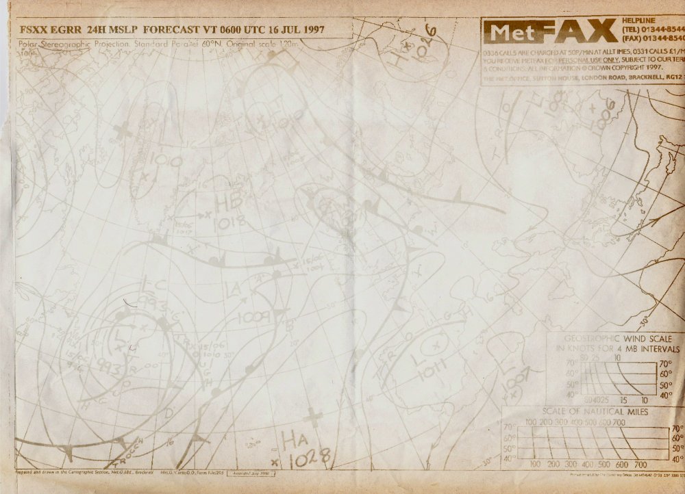
The faxed weather charts have faded somewhat, but can just about be read.
Not sure why I didn't take decent photocopies.
My main interest in looking at them is that they don't really say "rising southerly" at all. I just see west or sometimes south-west winds. I must've just been desperate to go.
Here's the T+72h chart. Looks almost like 'calm'.

Here's the T+24h chart.
Not very easy to read...

So here's an extract.
I can't see why this seemed the right conditions, but I guess it could've been worse. And sometimes you just have to get out there.

Back to Rides in 1997